Table of Contents
Let Our Experts Optimize Your Deliveries Today
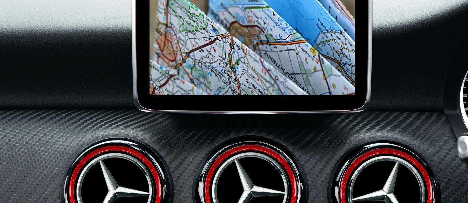
Let's talkGPS is short for Global Positioning System, a satellite-based navigation system made up of 24 satellites owned and placed into orbit by the United States government. This satellite system helps cars, trucks, aircraft, ships and other vehicles locate their exact position on the surface of the earth and navigate between points of intended travel. But how can GPS be used to plan routes in logistics, and what are the benefits of using it to do so?
What is GPS Route Planning?
GPS (Global Positioning System) route planning is simply planning delivery routes using identified addresses and navigating between them with the use of GPS navigation. Let’s explore some of the key aspects of the technology and how these capabilities can help logistics companies plan routes.
Key Aspects of GPS Route Optimization
- Location Tracking: With 24 satellites in orbit, the GPS network can pinpoint the exact location of any vehicle with a GPS signal receiver. This can help drivers and dispatchers manage the location of goods and derive ETA information for deliveries.
- Mapping and Navigation Services: GPS platforms typically provide mapping services to overlay the location of a receiver on top of known locations. These platforms can further provide navigation and routing information based on roads, airways or shipping lanes.
- Route Calculation: GPS algorithms can use the map and location data to create optimized routes for delivery vehicles, using variables such as distances, speed limits, tolls, traffic and more.
- Real-Time Traffic Updates: Due to the network effect of many GPS users, GPS platforms can calculate real-time traffic updates by monitoring where users are going more slowly on a road than typical traffic flows move. This identification of traffic hot spots can be used to inform drivers of delays and even reroute them around delays.
- Turn-by-Turn Directions: Drivers using GPS navigation platforms can receive turn-by-turn navigation information as they drive a delivery route. This is critical in adhering to pre-planned routes and can be updated as traffic, weather, or other factors change.
How does GPS Route Planning Work?
The key capabilities of GPS routing are critical for last-mile logistics efficiency. But how do they actually work?
- GPS Data Acquisition: GPS route planning begins by acquiring mapping and positioning data. Onboard equipment receives GPS signals to determine the precise location of a vehicle.
- Mapping Data Retrieval: Once the location is received and determined, a GPS unit must retrieve built-in mapping data to overlay location coordinates onto. Destination coordinates can be input and routing can begin. The mapping data includes roadways that link the beginning points, end point and stopping points along a route.
- Route Calculation: The GPS route planning algorithm can then process the intended stopping points and links the most efficient roadways and routes of travel between them, accounting for traffic, weather, tolls and other factors.
- Traffic Information Integration: Real-time traffic information can be calculated in most modern GPS systems. This is done by determining any slow moving or stopped points along a roadway from data of other GPS users.
- Route Optimization: The real magic occurs when routes are optimized for various constraints, such as toll roads, traffic, parking spots, regulated roadways and others. Modern logistics GPS platforms can account for these to create optimal routes that contain hundreds of stops.
Enjoying reading GPS Route Planning? You can also read our below blog
What is Route Management? The Ultimate Guide to Manage Routes Effectively
GPS Technology and Components
A. Overview of Global Positioning System (GPS):
The Global Positioning System (GPS) is a network of 24 satellites that locate and provide information to GPS receivers. There are many components of this system. We’ll explore a quick overview of these components below.
B. GPS Components: Satellites, Receivers, and Navigation Devices:
- Satellites: The GPS system includes a constellation of satellites orbiting the Earth. Currently, there are approximately 30 operational GPS satellites distributed across six orbital planes. These satellites continuously transmit signals that include precise timing information and satellite position data.
- Receivers: GPS receivers are devices that receive signals from multiple GPS satellites. They typically contain an antenna to capture the satellite signals, a processor to perform calculations, and memory to store data. The receiver processes the signals and extracts information about the satellite positions and time.
- Navigation Devices: Navigation devices, such as dedicated GPS units or GPS-enabled smartphones, incorporate GPS receivers and additional software to provide navigation capabilities. They receive signals from multiple satellites and use the information to calculate the device's position, speed, and heading.
C. Role of GPS in Route Optimization and Navigation Systems:
GPS plays a fundamental role in route planning software, as its data helps identify the most efficient routes between locations. Here are the key elements of GPS and how they help logistics managers plan efficient routes.
- Location Determination: GPS signals can pinpoint within a few meters the exact location of a receiver on the earth’s surface. This can help drivers navigate complicated routes with extreme accuracy.
- Mapping and Digital Maps: Most GPS navigation devices include databases of up-to-date maps for regions around the globe. Combining location data with these maps can create complete awareness of a vehicle’s location on the Earth’s surface.
- Route Calculation: With the comprehensive mapping data, routes can be calculated between multiple points using the roadways most efficient for each route. Routes can account for various constraints along the way.
- Turn-by-Turn Directions: Drivers using GPS devices can receive turn-by-turn instructions to assist them in navigating complicated road networks and ensure they stay on course throughout a delivery route.
- Real-Time Traffic Updates: Most GPS navigation systems incorporate real-time traffic information by accessing traffic data, such as congestion, accidents, or road closures. These traffic updates can be used to inform drivers of more efficient routes where possible.
- Tracking and Monitoring: GPS technology enables tracking and monitoring of vehicles in real-time for both drivers and other stakeholders, such as dispatchers, managers and even customers waiting for deliveries. Managers can use this information to monitor performance and provide even more efficient routes in the future.
Benefits of Route Planning
GPS route planning offers several benefits for individuals and businesses alike. Here are some of the key advantages:
Accurate Navigation: GPS systems provide the most accurate navigation possible for road-based vehicles today, calculating positions within meters of the actual position on the Earth’s surface. These positions can be compared against mapping data to provide extremely accurate navigation along a route.
Time and Fuel Efficiency: Because GPS systems can calculate the shortest distance to travel between multiple stops, GPS route planning ensures delivery vehicles can complete delivery routes in the least amount of time possible while using as little fuel as possible, saving both time and money for logistics providers.
Improved Productivity: Drivers using GPS systems are able to complete more stops per hour and more stops per route hour versus similar drivers using more manual navigation methods. This translates to increased driver productivity and can reduce the amount of vehicles or drivers a logistics provider may need for a given number of deliveries.
Enhanced Safety: GPS routes can help drivers avoid potentially hazardous areas, such as areas of high traffic congestion, bad weather and poor road conditions. Further, drivers can focus on driving their vehicles with automated turn-by-turn navigation to help keep their eyes on the road.
Simplified Trip Planning: Most importantly, drivers and dispatchers can save hours planning routes with modern GPS route planning software. By inputting desired stopping locations, dispatchers can create efficient, optimized routes within seconds using GPS data and coordinates.
About FarEye
FarEye’s Delivery Management platform turns delivery into a competitive advantage. Retail, e-commerce and third-party logistics companies use FarEye’s unique combination of routing, orchestration, real-time visibility, and branded customer experiences to simplify complex delivery logistics. The FarEye platform allows businesses to increase consumer loyalty and satisfaction, reduce costs and improve operational efficiencies. FarEye has 150+ customers across 30 countries and five offices globally.