
Table of Contents
- How Smarter Territory Routing Lifts Workforce Productivity
- KPIs That Prove Real Workforce Productivity Gains
- How FarEye Supports Smart Territory Routing at Scale
- Case Study: Healthcare Territory Routing Outcomes With FarEye
- Implementation Best Practices That Keep Territory Routing Results Real
- Improve Workforce Productivity With Executable Territories
Let Our Experts Optimize Your Deliveries Today
Let's talkKey Takeaways
- Balance Workloads and Cut Waste: Discover how intelligent territory routing aligns capacity with real-world effort to reduce boundary crossovers and boost stops per hour.
- Strategic Planning with FarEye: Learn how FarEye uses digital twins and demand forecasting to optimize fleet capacity planning and ensure regulatory compliance.
- Real World Impact: Explore a healthcare case study where FarEye drove an 18% increase in vehicle utilization and a 90% reduction in planning time.
Globally, the logistics market size is predicted to increase from USD 12.68 trillion in 2026 to approximately USD 24.36 trillion by 2035. Rapid e-commerce growth drives this expansion, requiring modern enterprises to adopt advanced territory routing to maintain high workforce productivity and network efficiency.
Unbalanced coverage and shifting demand hurt workforce productivity, forcing teams to chase exceptions. Effective territory routing reduces travel waste by balancing workloads across zones and keeping routes feasible as order mixes change.
When territories align with capacity, drivers spend less time crossing boundaries and more time finishing routes. Let's learn what smart territory routing looks like in practice, and how FarEye helps teams plan, test and scale territories with confidence.
How Smarter Territory Routing Lifts Workforce Productivity
Smarter territories reduce daily friction by keeping workloads fair, travel predictable and execution easier for drivers and dispatchers. When zones stay stable, teams spend less time reshuffling coverage and more time completing stops cleanly.
- Balance Workloads so Shifts Finish on Time
Territory routing spreads stops using effort-based signals, preventing overload in dense zones while nearby capacity stays underused. This also supports Hours-of-Service (HoS) compliance and Department of Transportation (DoT) regulations, since shift capacity reflects legal driving and on-duty limits. - Speed up Planning During Peaks
Stable territories shorten planning time because dispatch starts from a baseline and adjusts only for volume and true exceptions. Testing territory designs in route planning software helps validate windows and constraints before late cascades hit. - Turn Zone Results Into Coaching Inputs
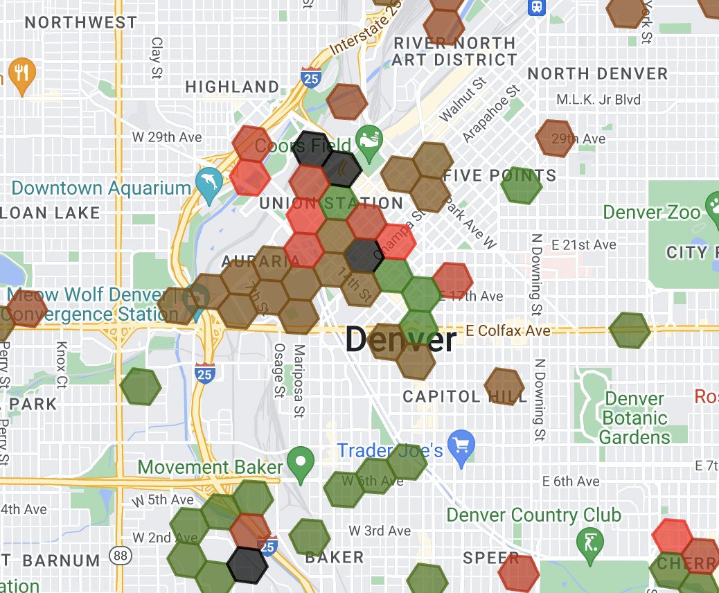
Steady boundaries link dwell spikes to specific receivers and access rules, making root-cause fixes faster and more targeted. - Geofencing for Precise Boundary Management
Clean boundaries cut crossovers between routes and depots, keeping miles purposeful. Geofencing allows territory route planners to shape territories around stop density, road reality and access friction, ensuring utilization remains high without pushing overtime. - Weekly Fixed Route Planning for Stability
Stable territories shorten planning time because dispatch starts from a weekly fixed route baseline. This allows teams to adjust only for volume spikes and true exceptions, validating windows and constraints in route planning software before late cascades hit.
KPIs That Prove Real Workforce Productivity Gains
These KPIs show whether territory and routing decisions translate into cleaner execution, fewer manual fixes and steadier service outcomes. Track them weekly, then adjust inputs and rules using evidence from field performance.
- Stops Per Hour
Track stops per hour because it shows real throughput and exposes where territory sizing or sequencing creates hidden time loss. - On-time Delivery
Monitor on-time delivery because it proves whether daily plans stay feasible when traffic, dwell and time windows pressure execution. - First Attempt Delivery Rate (FADR)
Use FADR to spot readiness and access issues early because reattempts inflate miles, labor time and customer friction fast. - Dispatcher Touch Time
Measure dispatcher touch time because stable plans should reduce manual edits and repetitive exception triage across teams. - Route Adherence
Track route adherence because strong follow-through signals drivers trust the sequence and workflows stay clear in the field. - KPI-to-Rule Improvements
Use these KPIs to tune route optimization software rules, especially service-time buffers and access constraints that often trigger late clusters across markets.
How FarEye Supports Smart Territory Routing at Scale
FarEye operationalizes territory routing by linking territory design to capacity, cost and execution readiness, so productivity improves without adding planner workload.
- FarEye PLAN as a Final Mile Digital Twin
FarEye PLAN connects territory decisions to network capacity planning, giving teams a practical way to model scenarios before they roll changes out. - Demand Data Inputs From History and Forecasts
Past demand, live trends and forecast signals shape territory routing decisions, so territories match what the network will face, not what it faced last quarter. - Trend Analysis For Shifting Demand Patterns
Trend analysis highlights where demand is moving, so you can adjust territory sizing before chronic overload shows up in missed windows. - Density Analysis For Smarter Coverage
Density analysis shows stop concentration by zone, helping territory routing reduce empty miles and improve route consistency across high and low volume clusters. - Territory Sizing That Matches Workforce Reality
Territory sizing balances workload by territory, stop type and travel time, so each team starts the day with feasible coverage targets. - Demand Smoothing Across Days and Territories
Demand smoothing spreads workload across the week, improving workforce balance and reducing peak day stress that drives reattempts and late cascades. - Fleet Capacity Planning For Vehicles and Shifts
Fleet capacity planning aligns vehicles, shifts and planned stops, so territory routing decisions stay executable under real operating limits. It also supports HoS compliance and DoT regulations by aligning shift length and planned drive time to legal requirements. - Carrier Analysis For Requests for Quotation (RFQs) and Coverage Gaps
Carrier analysis supports RFQs and partner mix decisions, so outsourced capacity strengthens weak lanes and does not introduce service variability. - Cost Optimization Tied to Territory Design
Cost optimization connects territory routing to cost-to-serve drivers, helping teams reduce waste without trading off service reliability. - Dynamic Smart Service Time
Enhance accuracy with Smart Service Time by factoring in parking, elevators and carry-ins. This provides adaptive ETAs that reflect real-world effort and build customer trust. - Machine Learning Driven Smart Parking
Leverage Smart Parking algorithms to predict spots near destinations. This minimizes walking distances, reduces driver fatigue and streamlines delivery efficiency. - Heatmaps for Density and Trend Analysis
Heatmaps visualize demand density and stop concentration. This helps territory routing reduce empty miles and balance volume across clusters. - Keyhole Markup Language (KML) Support
KML support enables custom map overlays. This ensures territory routing designs reflect specific road networks and operational boundaries. - Hub Network Optimization
Hub network optimization aligns depot locations with territory boundaries. This connects territory routing to cost-to-serve, reducing waste without compromising reliability. - Blackout Zone Management
Blackout zone tools restrict specific areas for safety or compliance. This ensures territory routing remains realistic and keeps drivers out of high-risk locations.
Case Study: Healthcare Territory Routing Outcomes With FarEye
This case study shows what improved territory planning and capacity planning can unlock when FarEye reduces manual work and balances workloads across facilities. The results reflect how FarEye translated smarter planning into measurable operational gains across healthcare delivery networks.
- 18% Increased Vehicle Utilization
Improved territory routing with FarEye strengthened vehicle loading and routing, which reduced empty miles and lowered idle time across delivery operations. - ~10% Fleet Cost Reduction
Higher utilization supported fleet size optimization and FarEye helped teams translate that utilization lift into lower capital expenditure and operating costs. - 90% Planning Time Reduction
Automated territory and capacity planning cut manual planning work from weeks to hours, enabling faster response as demand patterns shifted across facilities. - 12% Improved Service Levels
More balanced territories and better-aligned capacity improved delivery-time consistency and FarEye supported steadier outcomes that strengthened customer satisfaction. - Deployed Across Multiple Markets
The rollout referenced healthcare facilities across Indonesia, Malaysia, Thailand, Hong Kong and the Philippines, demonstrating repeatability across varied operating environments.
Implementation Best Practices That Keep Territory Routing Results Real
Executable territories reflect real effort, real constraints and real capacity, so routes stay feasible when the day drifts. Use a simple build, test and refine loop to keep coverage fair and stable.
- Start With Density and Service Time Reality
Use stop density, average service time and travel time by micro-zone, then size each territory to match realistic shift capacity daily. - Stress Test For Variability
Test late pickups, weather risk and traffic spikes because resilient territories absorb variability without constant boundary changes. - Refresh Boundaries as Demand Moves
Revisit boundaries as demand shifts, since territory routing stays fair only when it evolves with new lanes, customers and service tiers. - Use Data That Reflects Real Effort
Refine territories using proof timestamps, dwell patterns and failed attempt reasons, since distance alone hides the true work per stop. A territory route planner improves accuracy when it learns micro-zone friction like parking patterns, gate delays and access rules. - Align Territories With Capacity Planning
Build capacity plans from the territory design, then adjust fleet mix, start times and labor coverage so each zone hits targets consistently. - Design For Recovery, Not Perfect Days
Define swap rules and backup capacity to cover spillover when stops run long or weather slows travel across the day.
Improve Workforce Productivity With Executable Territories
Territory routing lifts productivity when zones stay balanced, travel stays purposeful and teams spend less time fixing exceptions across shifts. The biggest wins come from fair workloads, fewer boundary crossovers and faster planning that holds up during peaks.
FarEye helps teams test scenarios, smooth density and align capacity decisions to real effort signals, so output improves without adding planner workload. If you want higher utilization, lower cost-to-serve and steadier service levels, start with your highest-friction zones first.
Contact FarEye to map your current territories, validate capacity assumptions and build an executable territory routing model that scales.
References:
Narayan, Laxmi. "Logistics Market Size to Hit Around USD 23.14 Tn By 2035." Precedence Research. Last modified January 30, 2026